GIS framework: Route presentation
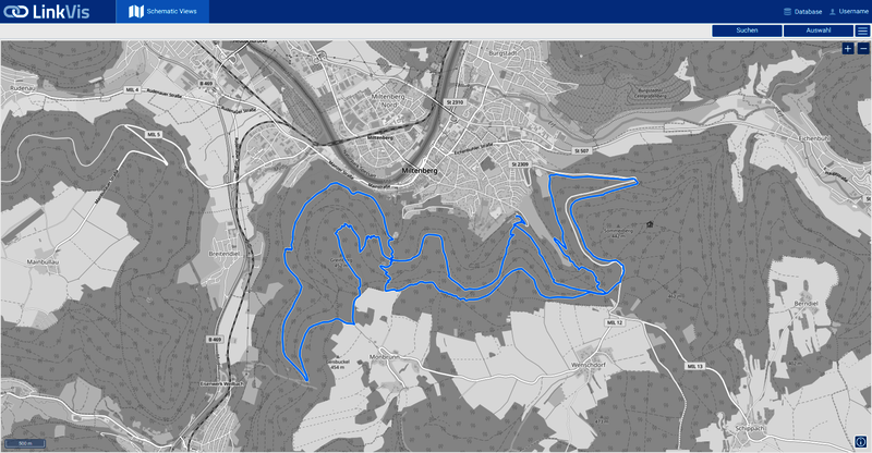
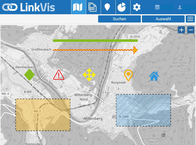
Route planning can be performed effectively and precisely with the help of various functions and tools:
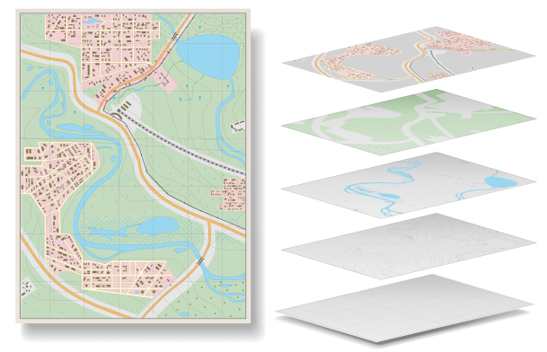
- Thematic presentation of object data
- Measurement of areas, lengths and distances
- Creation of logical network views (network topology)
- Formation of segments and creation of higher-level sections
New routes can be added to the display via database import, file upload (KML/KMZ) or a Web Map Service (WMS/WFS).


